Recent searches
Search options
I picked this spot near Burrator reservoir, inspired by the lovely posts of the area from @Rachelburch who I heartily reccomend you follow.
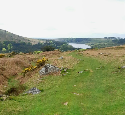
I'm starting off from Norsworthy Bridge, and have a rough plan to explore the valley Narrator brook runs through.
Straight off the bat I take a path that fizzles out into fields. It was supposed to be Middleworth lane.
Still some lovely views
I find a gap in wall that brings me back to the lane.
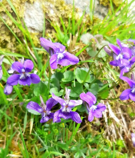
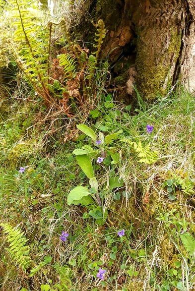
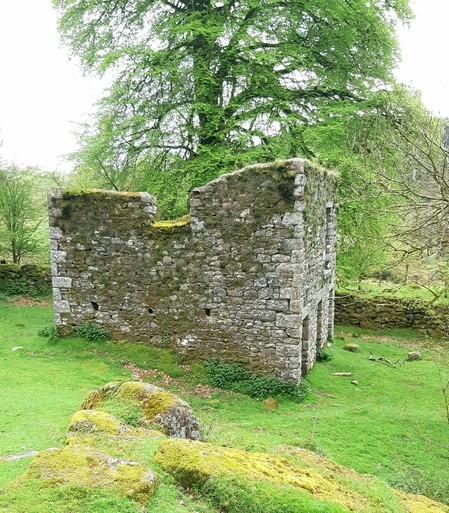
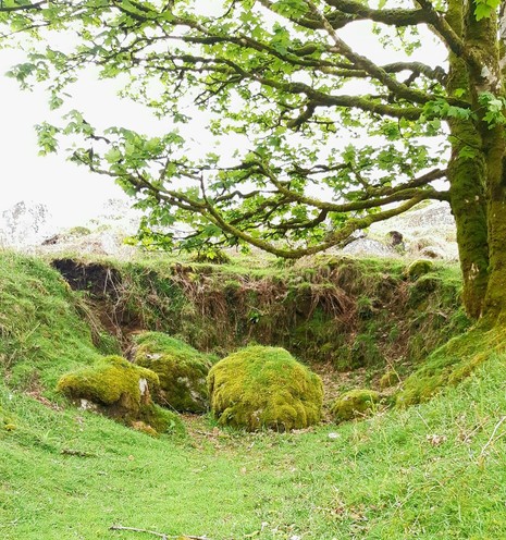
I come onto the lane via a small Tor and am greeted by this ruin. This lane is scattered with remains of farms and settlements from various eras. Lots of cool foliage, violets a plenty, which I can never capture the colour of!
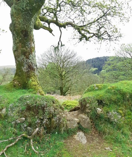
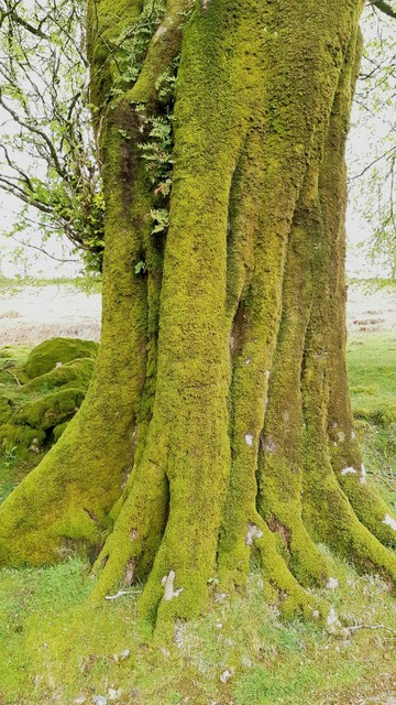
And this beech tree which was HUGE! Wider than my arm span!
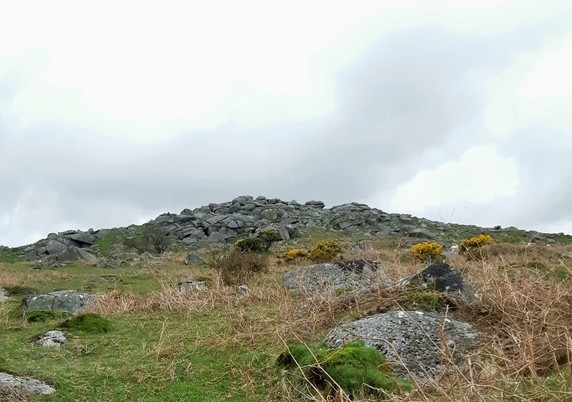
I decide the lane is not adventurous enough, and although I wasn't going to go "up hill" today, I veer off up to Down Tor, as the path leading off looks more exciting, and the Tor not TOO high.
It's a fairly easy #walk up to this low Tor, probs where it's name comes from. The land is littered with Tinners gerts, gullys cut into the earth to mine tin from just below the surface. Some are quite windy and fun to explore. Some are just dead ends with troll boulders left to defend them.
#walking
While I'm traipsing up to the Tor summit, a family of 3 emerge. I spot the dad first, stood, arms spread wide (he's not spotted me) singing at the top of his lungs in something that sounds like Arabic. His wife is #walking ahead of him, laughing. Later I spot their little girl, taking inspiration from her dad, shouting to the sky in the same language.
The three of them are joy filled and honestly this might be the highlight of the #walk. More singing loudly to the heavens on #hikes please.
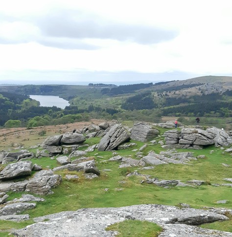
Having reached the top I decide the Tor is a good pit stop for my snack.
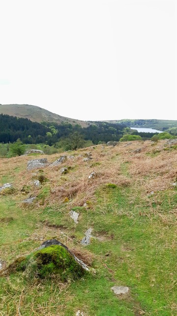
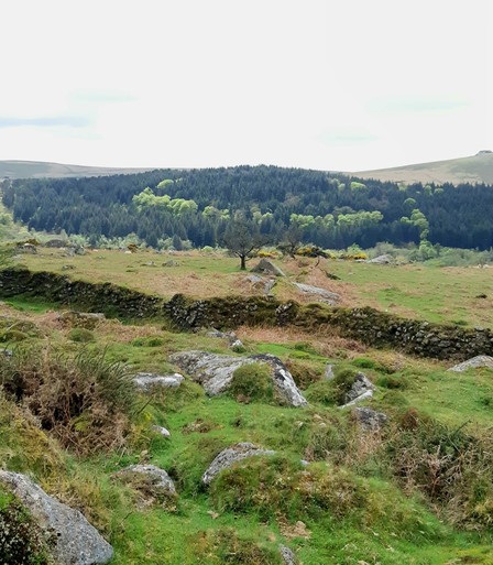
I notice that the trees across the valley, while mostly pines, have a circle of lime coloured beech growing amongst them. The OS map doesn't give me many clues, it doesn't seem to match the land boundaries, but maybe these are outgrown beech hedges?
This is Roughtor Plantation and my vague plan involves going back through it.
As I'm having my snack I hear a cuckoo...
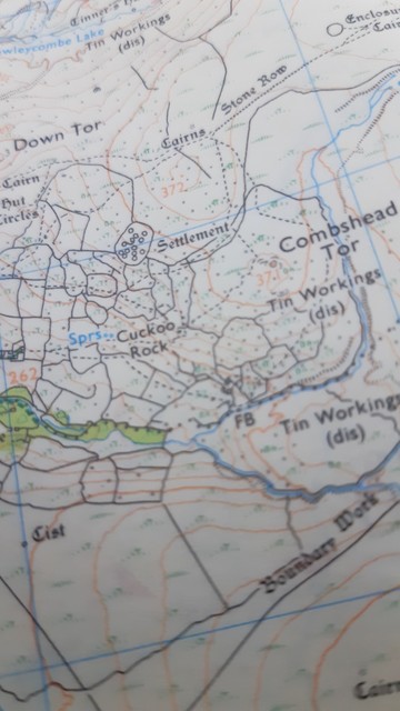
And then I realise I spotted something on the map.
Yes mates. Actual Cuckoo Rock!
Well I'm going to have to head out to find that aren't I?
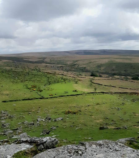
I can see across the moor to Combshead Tor and the smattering of rocks bewteen that must be the land of our cockoo... also promise of "settlement" and "cairns" and other snippets entice me to head off towards the next Tor
Right a little note on #maps
I read an article years ago on how the maps we use shape the way we see the world, the choices we make and our relationship with our environment. I believe this is entirely true.
When I'm out #walking I like to use a mix of Google satellite view and a good old OS and this because as great as OS is, it doesn't paint the entire picture. Likewise Google is flawed. But together I get a good overview.
Case in point: where OS had noted "Cairns" google had "stone circle"
Now I'm not overly interested in a cairn, but damn straight I'll trudge out of my way to visit a stone circle.
With this new info gathered I plot a route to visit the "settlement" between the Tors and then to go find the stone circle.
OS does have stone row noted next to cairns so I figure even if google is wrong there'll be something to see.
Off we go
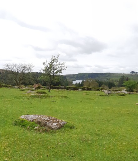
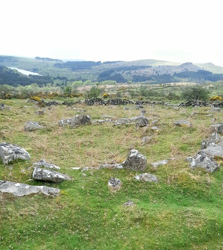
The settlement is amongst newer drystone wall enclosures, many with tinners pits in them. But this ring of stone wall contains small stone rings amongst it, clearly marking where dwellings stood.
I spot 2 cuckoos strutting in and out the blackthorn, calling loudly.
I stand and admire the settlement a while and try and imagine what the landscape looked like.
Then I turn up the hill in search of the circle
@littlerachyb very nice thread, it looks wild down there. I've not heard of 'tinners pits' are they left over from small scale tin ore mining?
We have 'borrow pits' up here, really small scale quarries, where stone was won to provide the materials for farmhouses, dry stone walls, etc. They still get used occasionally to make forestry roads or access roads to wind farms.
Hope you enjoyed your walk, lots going on there!
@Ivor I'm no expert but as I understand it on Dartmoor the mineral deposits are just under the surface, so the exploration pits are small indents where tinners searche for a vein, and then a gert is the gully that follows the vein across the landscape. The one I followed on this walk, that is just visible in one picture, was about head high when stood in and only a person wide.
@littlerachyb very interesting, never heard the term gert either! These must be quite a local feature, maybe I'll get there one day. Thanks for sharing.

